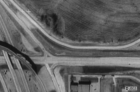
The above photo was taken from a USG Satellite on March 1, 1990,
at about 157 miles in outer space. It shows several things. Left center
you can see the exit ramp off of I-29 going to Kansas City International
Airport, which is just off the picture to the left. The narrow northernmost
road is Roanridge Rd. The wider road just south of it is Highway 291.

The faint cross in the upper left portion of the picture is just
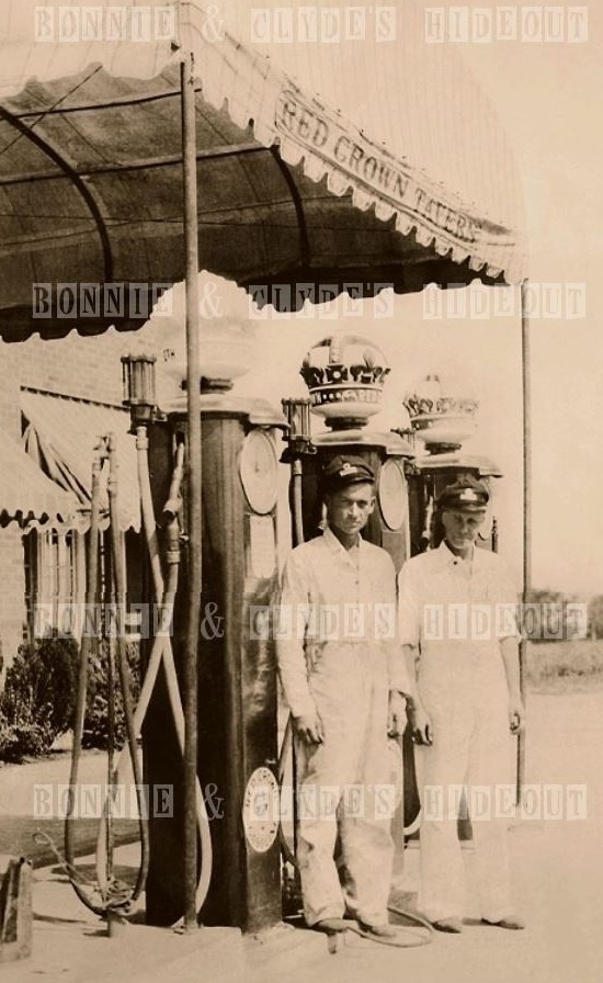
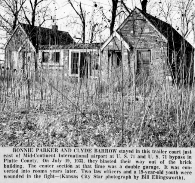
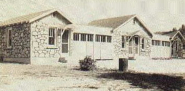
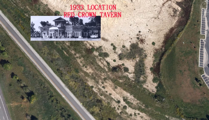
northwest of the Red Crown Tourist Camp, which can be seen as a dark
spot just east of Roanridge Road.  You can see in the picture, that the
farmer working that land, has been plowing around the site. You can't
tell from the picture, but the dark spot is actually a stand of trees.
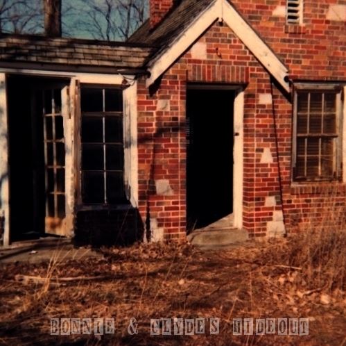
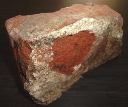
Contained in that stand of trees are several small piles of bricks from
the demolished cabins.

The following directions were obtained by:
Captain Ernest M. Raub, Missouri State Highway Patrol (MOSTA) website.

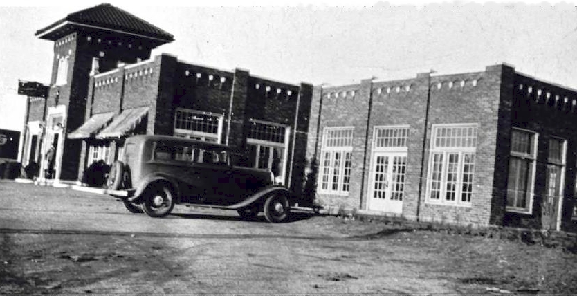
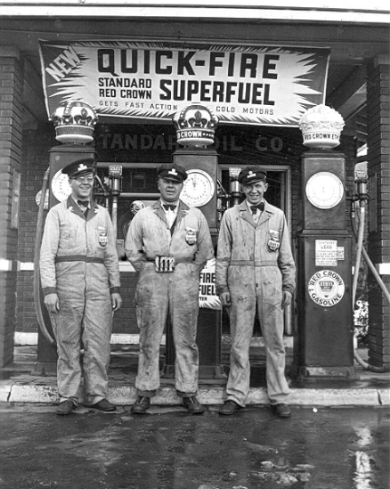
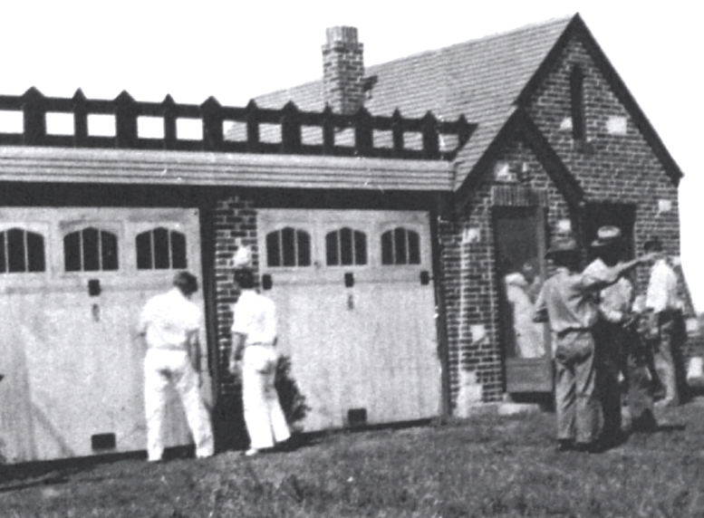
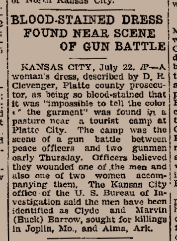
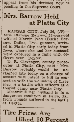
On July 18, 1933, about an hour before midnight, as the last minutes of
that hot Tuesday ticked away, the Barrow Gang turned off U.S. Highway 71
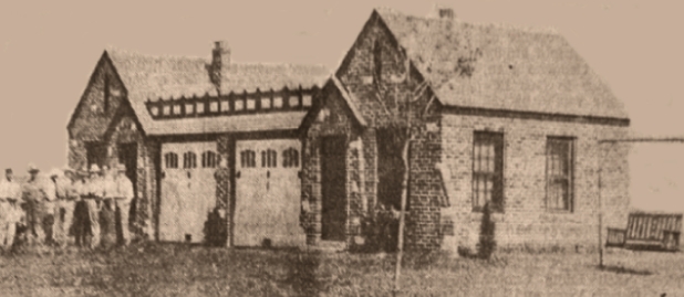
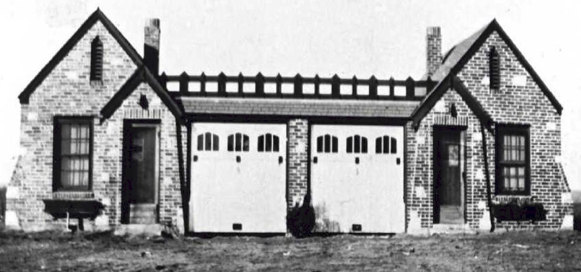
at the junction of Missouri Highway 59. There they pulled into the Red
Crown Cabin Camp about seven miles southeast of Platte City, Missouri.

Local people referred to the area as "The Junction". The Red Crown was
near the present site of the Kansas City International Airport interchange
on Interstate 29. It is now a pile of bricks and rubble located in a small
grove of trees along the east side of the outer road, Roanridge Road, about
200 yards north of Missouri 291.
|
